

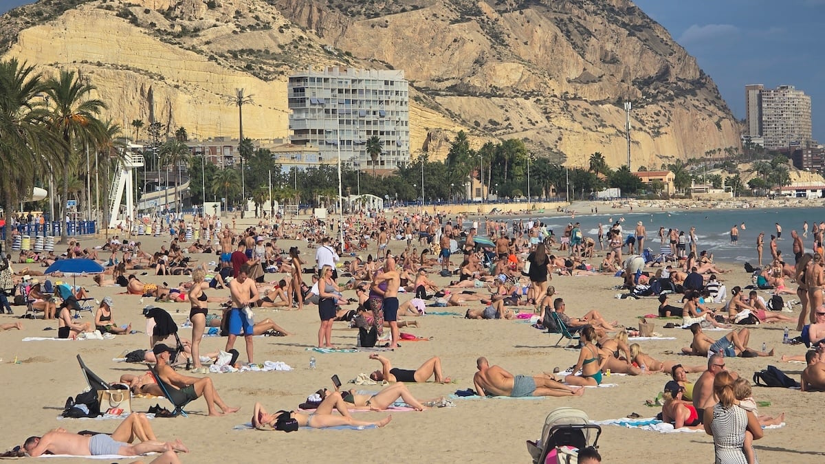
SPAIN has recorded its latest 32C reading in history as sunbathers packed Mediterranean beaches in unseasonable warmth.
The city of Murcia hit 32.2C on Wednesday, November 18, marking the latest date in the calendar year a temperature of 32C or higher has ever been registered on mainland Spain since records began, according to state weather agency AEMET.
That peak broke the previous national late-season benchmark of 32.1C set in Velez-Malaga on November 16, 2009.
It also shattered Murcia’s own all-time November record of 31.0C, which had stood since November 6, 2013.
Highs topped 30C across nine towns and cities in the southeast on Wednesday afternoon, led by Alhama de Murcia at 31.3C, Archena at 31.1C, and Orihuela in Alicante province at 30.7C.
Over in Almeria province, the coastal port of Garrucha reached 30.5C while inland Huercal-Overa hit 30.2C.
Sunbathers flocked to the sand in Alicante city, where Playa del Postiguet hit 27.6C at 1.15pm on Wednesday.
Meteorologist Samuel Biener, of weather portal Meteored, said from the seafront that conditions felt ‘more typical of June’ than the final stretch of autumn.
The abnormal heat persisted long after sunset, with AEMET confirming minimum temperatures across Spain were roughly 10C above normal due to a warm subtropical air mass and heavy cloud cover trapping heat.
In the Valencian Community, 275 weather stations – representing 30% of the regional AVAMET network – recorded ‘tropical nights’ by staying above 20C until morning, with some areas failing to drop below 23C.
Further north in Catalunya, 22 of the 129 automatic stations with more than 20 years of records operated by regional weather service Meteocat broke their highest daily minimum temperature for November.
Malgrat de Mar, a coastal town north of Barcelona with 36 years of climate data, set a new November overnight low record of a sweltering 19.2C.
Forecasters explained the heatwave was triggered by a moisture-laden subtropical air mass sweeping in from the Atlantic, whose westerly winds compressed and reheated as they descended mountain ranges toward the Mediterranean coast.
However, a powerful polar jet stream north of Spain is now driving a fast-moving Atlantic cold front across the peninsula from the northwest.
Meteored meteorologist Jose Miguel Viñas warned that post-frontal polar air arriving today will trigger a sharp temperature drop of up to 8C across inland Spain.
The steepest falls will hit Castilla y Leon, Aragon, and mountain areas of eastern Andalucia.
Along the Mediterranean coast, including Valencia and Murcia, temperatures will drop noticeably to end the 30C beach weather, though Viñas stressed conditions will return to normal autumn mildness rather than turning truly wintry.
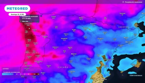
The incoming front is also bringing persistent rain to Galicia and strong westerly gusts of up to 90kph across wide areas today, whipping up 7m waves along the Cantabrian coast.
Earlier this week, the same Atlantic storm system dumped 85.6mm of rain on Rois in A Coruña and 40.3mm overnight into Wednesday on Grazalema in Cadiz province, while wind gusts reached 132kph at Mirador del Cable in the Picos de Europa mountains.
Click here to read more Weather News from The Olive Press.