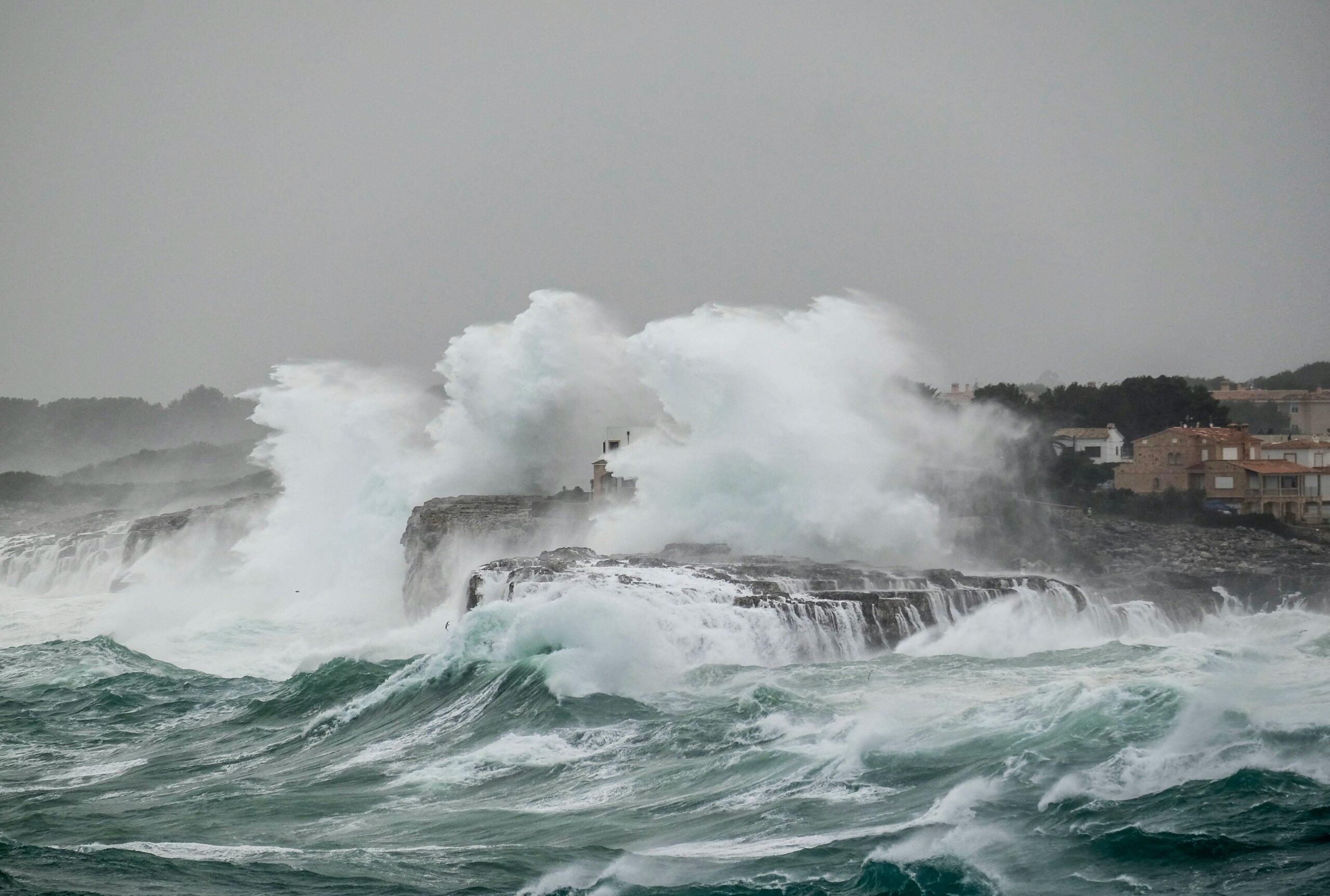
STORM Ingrid may well have passed but the wintry misery seen across much of Spain shows no sign of letting up.
According to Aemet, the state meteorological agency, the poor weather is set to continue this week as fresh Atlantic storms roll in, bringing heavy rainfall and strong winds to much of the peninsula.
A rare red weather alert has even been activated for one region in Spain, forcing the cancellation of school classes and the postponement of public transport.
Residents in inland Pontevedra, Galicia, are urged to take extreme precautions and follow Civil Protection recommendations amid the risk of possible flooding.
According to forecasters, a torrential downpour could dump up to 120mm of rain on the region in just 12 hours.
The red warning was activated at 11am local time on Monday and lasts until the early hours of Tuesday morning.
Elsewhere, orange alerts warning of heavy rain are also in place in nearby Ourense and further afield in northern Caceres and south Avila.
In these places, between 60-80mm of rain could fall in 12 hours.
In Andalucia, a lower yellow alert is in place with 15mm of rain expected every hour until this evening.
The majority of Spain is also covered in a yellow warning for wind with gusts expected to exceed 90km/h in some areas.
However, temperatures are forecast to rise across Spain with the stormy weather coming from the warmer Atlantic Ocean, unlike the arctic blast over the weekend which blanketed the mountains of Granada in over a metre of snow
In a post on X, Aemet said: “Atlantic storms will bring persistent rain, strong winds and rough seas in the coming days.
“The snow level will drop to around 500-800 metres between Tuesday and Wednesday, but on the remaining days it will be very high, so the rain will lead to melting.”
Click here to read more Spain News from The Olive Press.