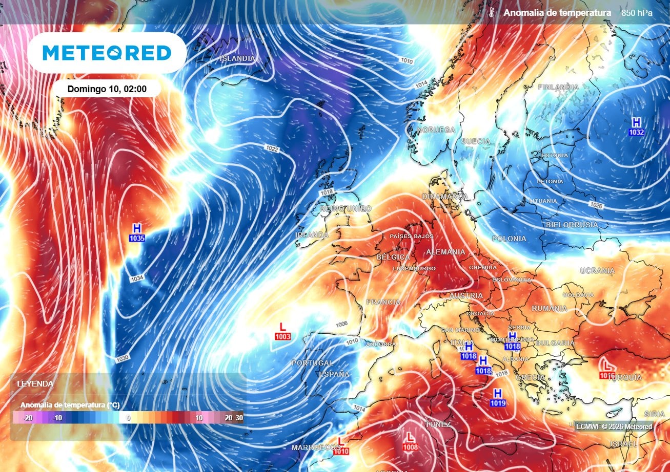
SPAIN is bracing for a dramatic drop in temperatures this weekend as a surge of polar air sweeps across the country.
The cold front, on its way from Iceland, will bring unseasonably chilly temperatures, widespread rain, thunderstorms and even snow in some areas.
Temperatures across much of the country are set to plummet by as much as 10C below the seasonal average.
READ MORE: Spain records warmest April on record with average temperature more than 3C higher than normal
The weather system will channel maritime polar air from high latitudes down towards the Iberian peninsula.
This set-up creates a dynamic weather pattern more typical of late winter.
Inland regions will feel the brunt of the cold snap most.
At higher elevations, temperatures could fall even lower to conditions more reminiscent of late March.
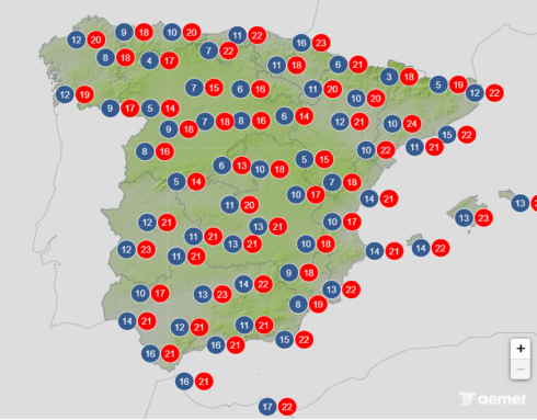
The Mediterranean coast and southern Spain will be less affected. – although temperatures will remain lower than normal for this time of year.
Rain is also expected to impact large parts of the peninsula, particularly in the north and west.
Thunderstorms are also likely in many areas.
Some could be intense locally, bringing hail and strong gusts of wind.
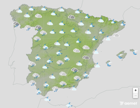
Snowfall is even a possibly, particularly in mountainous areas, with the Cantabrian mountains and Pyrenees expected to see a dusting of the whtie stuff.
Lighter, more isolated snowfall cannot be ruled out in other northern and central ranges.
Conditions should begin to stabilise by Sunday as the cold front slowly moves away.
Click here to read more Spain News from The Olive Press.