
A SPACE tech company has released images captured by satellites to reveal the ongoing fires raging across Spain.
As firefighters continue to battle the major wildfire burning in Guadalajara province, satellite technology is providing a crucial bird’s-eye view of the ongoing blaze to support emergency response efforts.
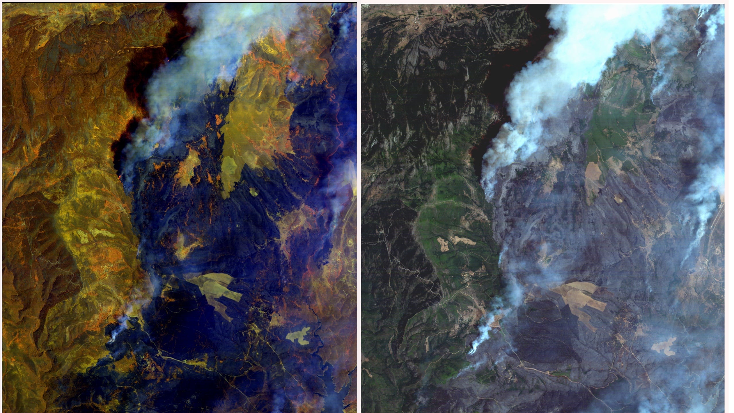
Space technology company Open Cosmos, based in Oxfordshire in the UK and with offices in Barcelona Porto, is using its next-generation satellite constellation to help reveal the wildfire’s active fire fronts, along with burn scars and smoke plumes as the incident continues to unfold.
According to members with Open Cosmos, the imagery captures narrow slices of light to help identify the extent of fires while tracking its progression.
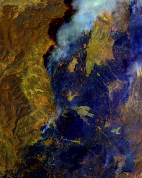
The latest images the Olive Press received from the tech company shows smoke drifting northeast under the influence of local winds.
It works by receiving data delivered through their DataCosmos platform, which combines satellite imagery with analytical tools to transform raw observations into datasets and actionable information.
Their system is designed to help organisations monitor environmental events and make faster, better informed decisions.
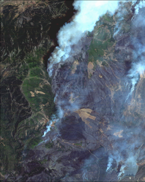
Open Cosmos is monitoring the Guadalajara wildfire on a daily basis, providing updated images in real time as conditions change.
The company says services like theirs can give valuable intelligence for emergency response crews on the ground and help authorities better understand how a wildfire is developing.
With the continuation of fires ripping across multiple areas of Spain, these resources can be beneficial as authorities work to contain the ongoing flames.
Spain has declared a national emergency over the raging wildfires in Madrid, with 10,000 people evacuated and burning a record 32,000 hectares of land.
Click here to read more Spain News from The Olive Press.