
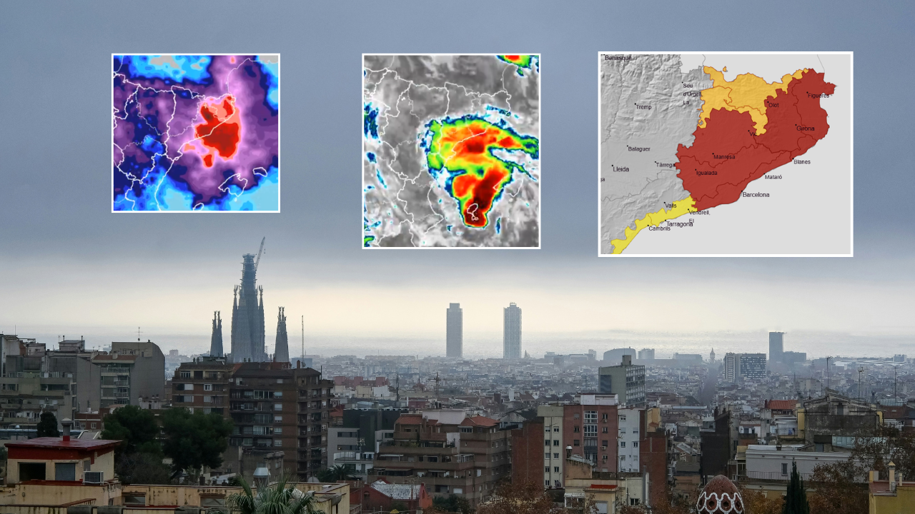
RESIDENTS and visitors in Barcelona have been urged to take extreme precautions this weekend as the city braces for the arrival of what regional forecasters have described as a ‘Mediterranean mini-hurricane’.
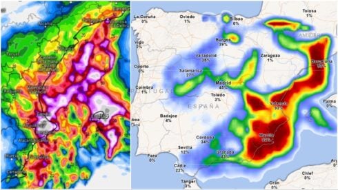
State meteorological agency Aemet have issued a rare red weather alert for Barcelona and Girona ahead of torrential rain, fierce thunderstorms and gale-force winds.
The first ‘danger to life’ warning kicks in at 9pm on Saturday evening and remains in place until midday on Sunday, covering coastal areas of Barcelona province.
Forecasters are expecting up to 90mm of rain to fall in just an hour, with accumulated rainfall potentially exceeding 200mm in just six hours.
The storms could also bring intense lightning, tornadoes or waterspouts, and gale-force winds topping 120km/h, with the worst of the weather expected around midnight.
At that point, the red warning will be extended to cover large parts of northern Catalunya, including Girona, Mataro, Figueres and the Costa Brava towards the French border.
A lower-level orange alert will also be active in the foothills of the Pyrenees.
Speaking at a press conference on Saturday morning, Catalan president Salvador Illa warned that the situation was ‘very complex’ and urged people to take restrictions seriously, adding: “This is not a joke.”
The regional government has restricted movement across 20 regions covering coastal and pre-coastal areas of Tarragona, Barcelona and Girona from 8pm on Saturday until 2pm on Sunday.
Outdoor activities, parks, gardens, sporting events and leisure activities have all been suspended during the period.
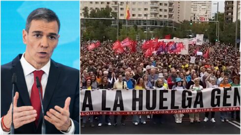
Football matches in the affected areas have also been called off, while planned housing protests in Barcelona and L’Hospitalet de Llobregat have been pushed back to Monday.
Local authorities are preparing to send an ES-Alert emergency message directly to mobile phones in the highest-risk areas this afternoon.
The volatile weather conditions are being driven by a mesoscale convective system, or SCM – a large, highly-organised cluster of thunderstorms capable of sustaining itself for several hours and producing exceptionally intense rainfall.
READ MORE: Spain’s 2026 the ‘hottest and longest summer on record’ as highs of 39C continue into late September
The Catalan weather agency Meteocat has placed 17 of the highest-risk areas at its maximum danger level of six out of six on Saturday, rising to 20 areas on Sunday.
The Ebro Hydrographic Confederation has separately warned of a risk of flash flooding in river tributaries.
The storm is particularly concerning for meteorologists because large parts of Catalunya are already saturated following a barrage of rain over recent days.
READ MORE: Spain records hottest summer since records began as Barcelona smashes both air and sea temperatures
Friday saw exceptional rainfall totals recorded across the Terres de l’Ebre area, with L’Ametlla de Mar recording 264mm of rain between Thursday and midday on Friday, according to Meteocat.
Montsia received 237mm while Baix Ebre recorded 224mm over 36 hours.
The C-12 road between Amposta, Tortosa and Roquetes remains closed because of flooding.
Emergency services have already carried out 320 weather-related missions since Thursday, while the 112 emergency hotline has received 663 calls.
Authorities are urging people to avoid unnecessary travel, stay away from rivers and flood-prone areas and follow official instructions throughout Saturday night and Sunday morning.
Click here to read more Spain News from The Olive Press.