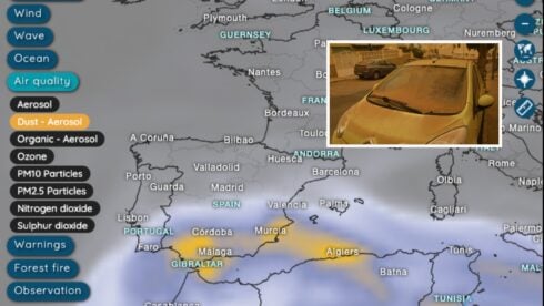
STORM Konrad is continuing from where the previous storm system Jana left off, prompting the question as to why Andalucia has got so much rain recently.
There has been a fortnight of rain with more forecast next week- certainly welcome news in filling up reservoirs.
The regional representative for the State Meteorological Weather Agency(Aemet), Juan de Dios del Pino, said: “An anticyclone displaced to northern Europe and another to the south of the Azores, which has left a wide corridor that allows the entry of Atlantic storms from west to east.”
READ MORE:
- Spain weather latest: Hundreds evacuated in Andalucia and schools closed as rivers surge amid ‘never-ending’ rain
- ‘It’s the end of the world!’: Locals in Marbella take shelter from Storm Konrad as fierce winds and rain batter Spain’s Costa del Sol
“The circulation of storms in low latitudes causes the arrival of fronts in the south-west of Andalucia,” he added.
Del Pino explains that the anticyclone over northern Europe drives the arrival of cold air towards the south of the continent, leading to the mixture of rain and lower temperatures in several parts of Andalucia.
Temperatures are expected to fall in the next few days, with minimums of 5C in Sevilla and Huelva or 2C in Cordoba this Saturday.
Showers are forecast for Saturday and Sunday.
Aemet says that next week will again be ‘rainier and somewhat warmer than normal for the time of year’.
Significant rainfall is expected on Tuesday, Wednesday and Thursday.
Click here to read more Weather News from The Olive Press.