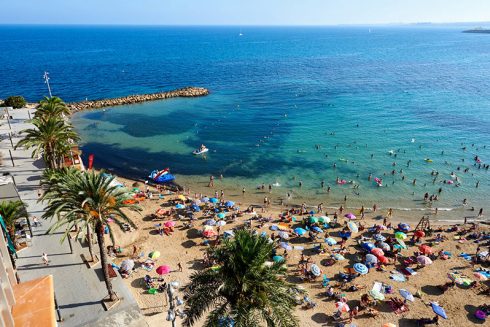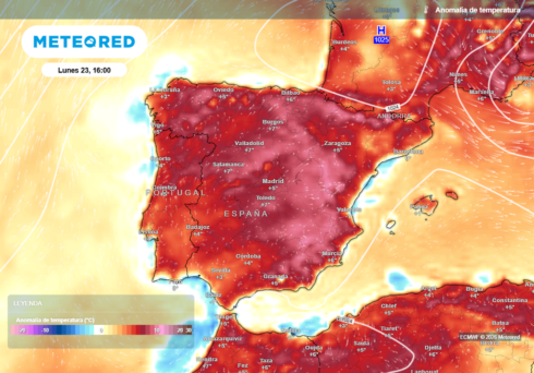
THE remains of Hurricane Gabrielle are sweeping into eastern Spain, bringing the threat of torrential downpours, flash floods and violent storms across the Comunidad Valenciana.
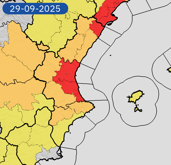
Forecasters have placed parts of Valencia, Castellon and northern Alicante under a red alert weather alert, warning these regions could see up to 200mm of rain in just 24 hours, with some mountain areas at risk of even higher totals.
Models hint at extreme peaks of more than 300mm, underlining the potential for serious flooding.
The heaviest rainfall is expected from Sunday night through Monday morning, when storms are likely to stall over the coast.
The unsettled pattern is forecast to continue until Tuesday, September 30, raising fears of overflowing rivers, flooded streets and travel disruption.
A red-level weather alert has been activated, signalling the risk of intense rain and thunderstorms. On the coast, this level means conditions where as much as 140mm can fall in 12 hours or 40mm in a single hour.
Inland, the threshold is lower at 100mm in 12 hours, meaning flash floods could hit valleys such as Requena or Cofrentes.
The storm is the dying breath of Gabrielle, downgraded from a hurricane to a post-tropical depression but still potent when combined with a warm Mediterranean.
The mix is expected to trigger powerful convective storms loaded with lightning, hail and sudden squalls.
Authorities say this is not a normal autumn shower but a dangerous episode requiring extreme care.
Residents are urged not to drive through flooded roads, to stay tuned to emergency updates, and to prepare for possible power cuts or transport disruption.
With the ground already saturated in parts of Spain and rainfall becoming more generalised, meteorologists warn the region could be on the cusp of a red alert scenario if rain rates climb further.
Click here to read more Weather News from The Olive Press.